Description
![]()
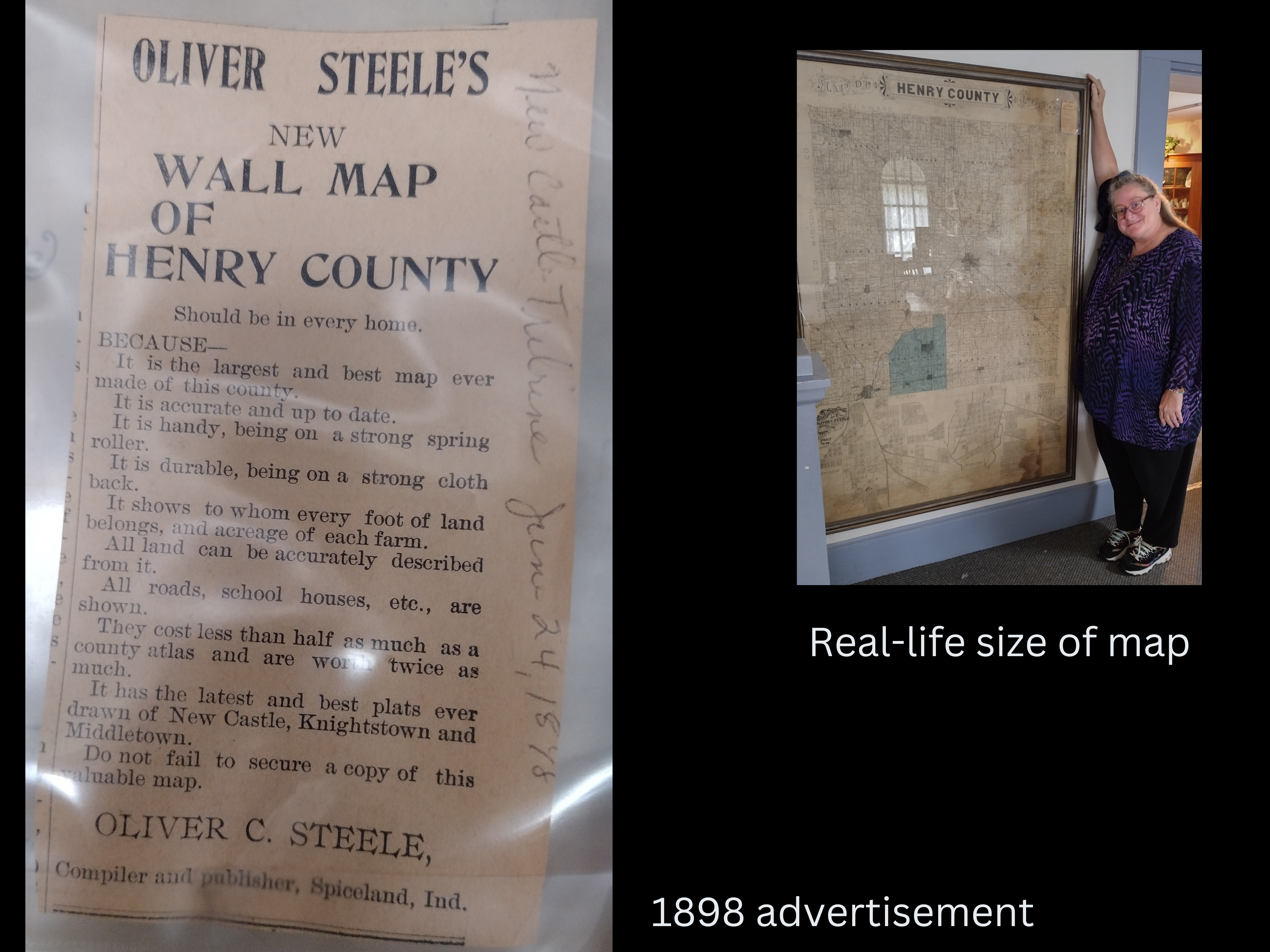
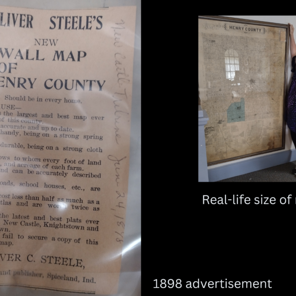
Oliver C. Steele created a wall map of Henry County, Ind., in 1897. The Henry County Historical Society has one that is framed. HCHS received another one as a donation. We cut each township out and scanned as a .png image. This is for a downloadable image of Henry Township.


Reviews
There are no reviews yet.